Hi, I’m currently halfway through learning all the countries and capitals of the world using my latest memory palace.
My idea for my next project is to be able to instantly find these places on a world map. I currently have terrible geographical skills so came up with an idea with my new memory skills.
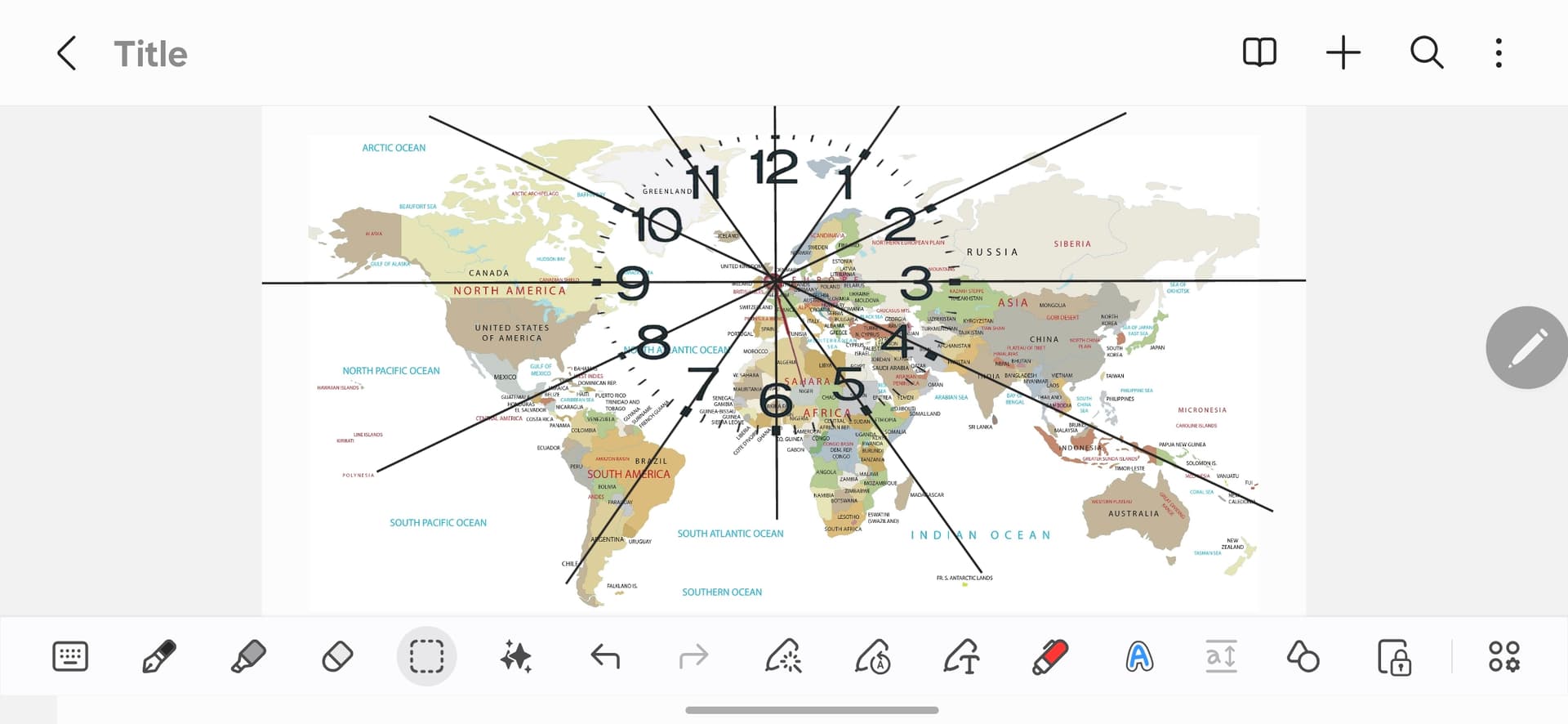
I’m trying to overlay a clock onto the world map but doing this is tricky… The clock needs to be set through or almost completely see through to see the map behind.
I will then use the major system or similar to assign a number from 1 to 12 to the countries direction according to the hours, minutes etc.
I am placing my UK location in the centre of the clock… So for instance France would be 6.
Out of interest has anybody else heard of an idea like this… If so please let me know.
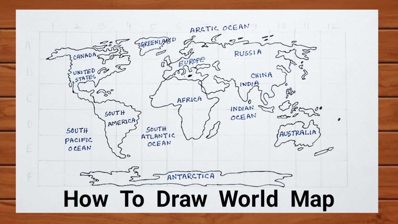
I have seen the map turned into characters to visualise country shapes etc but that doesn’t necessarily tell you which direction to look in for the very small countries etc.
I’m also struggling to superimpose a see through clock on the world map… I’ve tried using chat gpt etc to do this but it’s absolutely terrible 
If somebody better equipped to create such an image with all the names of the countries clearly readable could do that for me that would be awesome!
Thanks in advance for reading my ramblings