Learning the Countries

I have started out learning the countries. I have what is probably a silly question. Some of the islands that are part of North America, but are owned my France, Spain, ect. Do I code them into countries for North America, or do I leave them alone and put them with France, Spain, ect when I get to Europe? Or do I just ignore them, like I wouldn’t call Alaska a separate country just cause it doesn’t touch the United States. Also, does Puerto Rica stand alone as a country or is it just part of the United States and I don’t need to code it in as a separate country?
Thank you so much for your help here.

Laura

Here’s a good start: List of sovereign states - Wikipedia. You’ll see there are several countries whose status is in dispute, but you have to start somewhere.

For any territories owned by other countries, like you mention, since they aren’t considered independent countries, I wouldn’t memorize those if your goal is to learn “all the countries”. Believe me, there are enough tiny, independent island countries to memorize without throwing in all those other territories! You can always make learning all these other territories a secondary learning objective after you’ve mastered the countries.

Thank you. That’s kind of what I was thinking. Yes, there are enough little islands down there that are independent. I like the challenge of learning the countries. And it’s a great conversation piece. LOL

I encode each of the islands separately if they are listed on the wikipedia list of countries and dependencies.

I code in population order as that gives me one more bit of information than in alphabetical order. The first step I did was just getting them all in memory. If there was some way of encoding the dependencies in terms of their parent country, then I did. So Reunion I always say with an exaggerated French accent, but mostly I just get them in order and linked to the memory location. When I add the capital and further information, I add the parent country.

Because I am using indigenous memory methods, I use a variety of methods interacting for a given topic. I am making up songs for every continent, or group of countries in geographical order. I am also doing the American states in geographical order. So I can add some reference to the parent country in that. The islands around Africa are all done that way.

Hi everyone. Thanks for the wiki links. I am also try to (re)learn every single country and their capitals. My friend and Champion-level Mnemonist Boris Conrad from Germany (besides his new Names&Faces memory WR), he also holds the current Guinness WR for most capital cities named in 1 minute (56 in 1’) www.guinnessworldrecords.com/world-records/most-capital-cities-named-in-a-minute (done last year)

For anyone who is into flash games, I recently found out a nice geography game about countries and cities

travelpod .com/traveler-iq/game1

My current personal record for the big World map is 570K points (130 geoiq), screenshot :http://i.imgur.com/QS4H3Md.jpg
and for the European map 120K points (129 geoiq), screenshot: http://i.imgur.com/CoNhPXA.jpg
I’ll try to beat those today, if I study more about some obscure Russian locations, which I usually miss to spot on.
It also has a mode of a ‘USA challenge’, but I guess that needs studying some special ‘US Geo Atlas’ book to get a higher score. It’s not only States&Capitals, but also has many random small cities as well.
Playing such geography games gives motivation to learn more by association and by applying them on the actual map, and maybe create journeys & loci.

Nodas

I think all I’m interested in is the country and the capital for right now. If I feel the need to add anything, population for example I can add it on later. I live in the USA so I started with all the states and their capitals. I learned the states first and then went back and added the capitals. I don’t know if this was the best method but it worked for me. I have posters for each continent, except Antarctica on my walls. Ok, weird, I know. I also homeschool my children so they come in handy for them as well.

Anyway, I still have to make up index cards (how I study everything else-index cards with rings to hold them together) for all the countries so I can get to the memory part.

Laura

@Laura. Great, but I think that 52 capitals is not really that big task.(okay, for 1st-2nd grade, it may be a good starter). Also, I would focus more not only in capitals but in other major cities as well, and general knowledge.

For example, Sacramento, Austin and Tallahassee are the capitals of California, Texas and Florida respectively. But these cities are not the biggest and I think that unless someone actually lives there, these are generally not more important to learn over other major cities like:
Los Angeles, San Francisco or San Diego in CA ,
Dallas, San Antonio, or Houston in TX, and
Miami, Orlando, Tampa or Ft.Lauderdale in FL

(with all due respect to residents of Sacramento, Austin and Tallahassee)

Nodas

I wasn’t counting learning the capitals as a big achievement, was just using it as an example of hanging more information on a main topic. Once the states are memorized, which, yes is very easy, then I can hang anything I want on them. And I was using the reference as an example about learning the countries of the world. Once learned you can hang anything else you want with the country.

Tracy, yes, everything starts with first step, and those 52 capitals are very important. I was trying to say that there are many steps further than that, if improvement and knowledge expansion is needed.

By the way, yesterday I briefly just browswed through this Geography site:

which reviews and features some great map books such as:

I’ll put some on these on my reading list for X-mas.

So, Tracy I think the “Kids World Atlas” book may be worth having a look for the needs of your child in the future, if you need something more than USA geography.

Then, by googling I also discovered this amazing 24-Megapixel NG map
https://www.nationalgeographic-maps.com/media/catalog/product/cache/7/image/8ecabcfb697832bc77ac7e2547ded39f/x/n/xng199402a_90.jpg
(save as jpg, it is 10 MB size, but has great thorough global details)

Then after those I tried to play again the Traveler-Challenge and broke again my record with 588K points (132geo), so I broke my personal record by 16K points and I was really pumped up about this. My rec New screenshots: ( oi65.tinypic.com/11c8p3b.jpg, oi67.tinypic.com/2ue5pb6.jpg ) So I realised again that if you study something, then you immediately feel the benefits, score better and learn much more.
At least I could pinpoint again cities like Bogota on the map…(previously, I didn’t knew if Bogota was either north or south, inside Colombia, but some map reading helped me to score better).

By the way, retrospectively I think the whole American continent (both North and South America) should have been named Colombia instead, because Colombus firstly discovered the whole New World in 1492 CE, and not Amerigo Vespucci. But unfortunately, Christopher Colombus the original discoverer, only gave his name to 1 country. However, Amerigo gave his name to the whole American continent. And finally later in the 18th century, U.S.A. also hijacked Amerigo’s first name.

Great links. Thanks! Love the travelerIQ link, Nodas. Really impressed by your personal records. Really impressed!

Lynne

Hi Lynne,
You’re most welcome. This week, I broke again my record on the World Map with 589 K points. Snapshot: http://i.imgur.com/8EiAkb9.jpg
(my previous record was 588K http://i.imgur.com/bWNfyXT.jpg )
But they are both still 132geoiq points. Getting close to 600K is really hard. I memorised many obscure locations from World Atlases of Political Peography, like some obscure Eastern Russian cities or the illusive ‘Bouvet island’ about a thousand miles above Antarctica. But the hard thing with such Oceanian islands (like Micronesia, Fiji, Marshall or Solomon islands, Nauru, Palau etc.) or especially the Bouvet island (near that there is nothing in the ocean within a thousand mile radius) therefore it’s very hard to pinpoint and locate the exact location in order to get the maximum 5K points. The same happens with many obscure Canadian locations, because Canada is a really vast and somewhat unexplored place especially in the Canadian North. Then, when you get to the final level, you are constantly asked about countries and places in the middle of nowhere like St.Helena, Capo Verde, Sao Tome and Principe(in the Atlantic ocean), Comoros or Christmas Island (in the Indian ocean), or Galapagos islands or the Easter island (in the Pacific ocean ) or all the random islands in Oceania. So it’s hard to pinpoint such spots and many points are lost due to such inaccuracies. But the Caribbean area and the Antilles is relatively easy because most obscure countries (like St.Kitts and Nevis, Barbados, St.Lucia, Dominica or St. Vincent and Grenadines) are concentrated on a narrow line starting above the Venezuelan/Guyana/Surinam borders. The African continent is relatively easy at least for locating the big capital cities, since most of them are located onto the african coastline and not inside the plains, desert and rainforest. About Russian cities, the map that helped me the most is this
http://ecx.images-amazon.com/images/I/A1uNoB2NrwL.jpg (“Save as.” Great detail and dozens of Russian cities in that picture). I haven’t studied all of it, but marked some main location points that I was keep making errors

About that World Atlas Geoiqchallenge in general, there are some guys in Youtube that have done a score way bigger than mine , with 664K+ points. (like this guy over here https://www.youtube.com/watch?v=bnDYFMzqVy4 ) I am not sure if those record are totally legit. But I believe them. The fair thing with this game is that it is almost impossible for someone to cheat. Because if you know the location of the city or monument then you have to pinpoint and put it in on the map, within 5 or 10 seconds. It would also be a great thing if we could hold a Political Geography competition with neutral computers and supervisors. Then, we could see if any people could break 700K. There are so many cities around the world, so that would be hard. Personally, I think it is almost impossible for a human to know and pinpoint all Earth cities that have 10K+ residents. For all world’s cities with more than 100K+ it may be easier to memorise. Just check this list List of towns and cities with 100,000 or more inhabitants/country: A-B - Wikipedia And the these are only inside countries starting from the letters A and B. There are 8 such wiki pages. The total number of all cities with more than 100K+ residents may be more than 5K different cities. The USA has 272 such 6-figure cities, and China more than 500. But that 100K+ list not so impossible to learn as the 10K+ residents list (which by definition consists an urbanised area). But again, on the Geoiqchallenge test, in the final levels you also get asked about locating cities with much less than 100K+ people (like Bodo in Norway or Evora in Portugal).
Many Chinese and Asian cities have really obscure names. (at least from our western point of view. Because they may claim the same for our western cities)

But anyway. Reading a few Geographic Atlases always increases knowledge a bit. The things I liked about that Geoiqchallenge Test which I found a few weeks ago is that it is really interactive.
So, it’s not like you only memorize random cities (1 dimension list of cities) but one also has to know where to put them on the map in 2 dimensions (2D). But by default, all 2D Map projections always have inaccuracies to their distance estimations.
So, the next step (in the 3rd dimension) is to know which city is on the opposite of each other on our actual planet Earth and not only on its representation onto a 2D map. That’s called the ‘Antipode point’. Example, when viewing our Earth as a 3D globe, the opposite of the place I am right now (the antipode of Greece) is a specific point near the East Coast of New Zealand. So, there are not only 2 dimensions (Latitude and Longtitude) but also a third one (height or depth). Antipode comes from the Greek word 'αντίποδας/antipodas".The ‘anti’ prefix means ‘opposite’ and ‘podas or podi’ is the greek word for ‘foot’.So ‘antipode’ literally means ‘opposite of foot’ (meaning the exact opposite earthly point of where one’s foot stands) This is a great antipode map for the Earth. https://upload.wikimedia.org/wikipedia/commons/thumb/c/cf/Antipodes_equirectangular.svg/2000px-Antipodes_equirectangular.svg.png

Nodas

Thank you for such a fascinating overview, Nodas. I have only tried the Geoiqchallenge Test once. I wish life would stop expecting me to do stuff so I could just have fun with this!

I will never get anywhere near your scores. They are seriously impressive. I am not good at things which require speed. But I will challenge myself and build on my own scores. My trouble at the moment is that I have all the countries and capitals and some geography in the memory journey, but I am very slow at retrieving them just because I don’t do it much. This quiz is wonderful for getting me to recall out of sequence. It also helps pinpoint what I haven’t even put in my memory journey yet and should add.

Infinite fun to be had! Thank you!

Lynne

Hi Lynne and thanks again for the nice words. I understand what you say about expectations and priorities. The thing with the time allocation and management, comes ultimately to one word: choice.

So, I choose to devote a few time to some things like this geographical test, because it ultimately offers some further crystallised (factual) memory and knowledge which is objective and rarely changes.

Therefore, I prefer to do such short tests (whether it be geographic tests, mental calculation or other puzzles), because they score and present the result immediately after the test. For me that’s a better pastime over (let’s say) watching a fiction episode of some tv series. And besides crystallised knowledge, there are also fun as a game and they are close to entertainment as most games. Furthermore, they give motivation for self-improvement by pursuing bigger scores and more map knowledge. It’s not like Travelpod is a random game like FB’s Candy Crash or Farmville. That travelpod geography map game which I described earlier (http://www.travelpod.com/traveler-iq ) is a ’ trivial pursuit-like’ game based on knowledge of geographical reality.

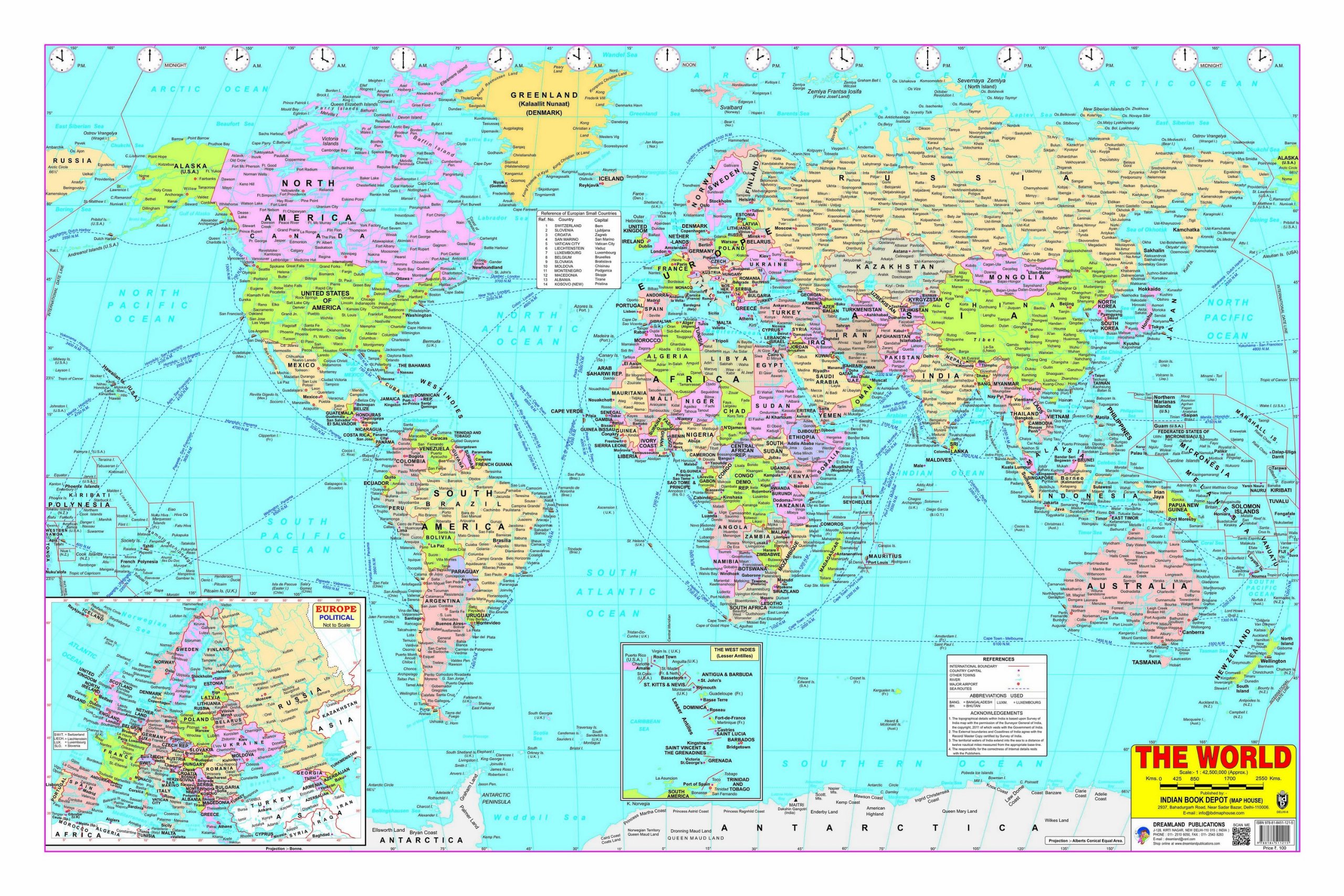
In my opinion, the world atlas may be a much more objective place to create and build upon loci and a memory palace. Because the world atlas is more permanent and never changes, unlike one’s room, neighbourhood, town, city which can change a lot over the years, and ruin the original memory palace. In contrast, the world atlas needs millions of years of tectonic plate activity in order to change a shape (of continents and locations). So, yes, I agree with you that the world atlas may be great for mental journeys and (factual) loci placements.

I guess the Romans were unlucky that they did not have such great geographic atlases like those we have today, so they only had to make their memory palaces based only on the routes in their neighbourhoods and cities and not the actual planet and the global picture. But nowadays, it’s even possible to build a memory palace from intercontinental air-flights (or train routes or urban highways) which have fixed routes on the map.

About time pressure, yes I agree for some people it may be an obstacle for pure thinking. But ‘time’ is always a factor of life and it’s not endless. In this Information Age, time and speed are important factors. Learning to cope under time pressure is a skill I enjoy a lot, and this ‘time presure’ happens in almost all the spectrum of professional sports.
Even in amateur sports like the World Memory Championship, all events are scored with mainly two factors: 1. Accuracy and 2. Fastest Time

Sorry for the off-topic, but the things which I described, I believe they are also loosely related to the acquisition of geographical knowledge in general, that’s why I drew such analogies.

Nodas

What a fascinating comment, Nodas. I had never thought of using the atlas as a memory palace. What a great idea. I already have all my countries in a journey, but I must ponder that concept more. My countries journey is a standard one taking in the houses and shops as I walk down to do the shopping and come home again.

I am not good at anything which needs to be done at speed nor under pressure. I am the long-term project type. I write books rather than short articles. I was a teacher for many years, and liked having the one set of classes (physics, mathematics, IT) for the whole year rather than teaching one-off sessions. But I really want to see if I can work more under pressure and do shorter things. I have just finished the manuscript of my next book and am going to try writing shorter pieces. I am going to try doing the traveler-iq as fast as I can.

I have always chosen the long haul tasks and then - because they are always hanging over me - I have never given time to shorter goals. But I am not taking on another book contract for at least a year - I will be devoting everything to the promotion of the one I have just written. And to the memory tasks.

So I now have the choice! What fun!

I currently do have a list of all countries (plus a few non-countries that I still wanted to make into a hook for information), though I’m not sure how to memorize their place on the world. Same with cities, how can I memorize their location?

I am adding songs which sing the countries in geographical locations in order around the continent or geographical region. The countries are all in a journey in population order. Then I have my Africa song and my South America song (from Mexico down) and so on. I make the songs up to well known tunes. When I think of a country in the journey, say Togo, then the appropriate song will come to mind, so I have it in Africa in the right position. All other information, such as cities, is attached to the journey location. The songs only serve to get them geographically in place. I sing in the shower!

My South American song is to jingle bells. It starts:

Mexico GBH, Guatamala ring the bells, eh,
Oh what fun Honduras has
When El Salvador paints his way, eh.

The GBH gets me going with Guatemala, Belize and Honduras, then I’m off an running. Is GBH the crime of “grievous bodily harm” in the US as it is in the UK and Australia? If not, that will make no sense!

The song gets thoroughly politically incorrect (but memorable!) so I’ll leave it there.

1 Like